
High Resolution Imagery
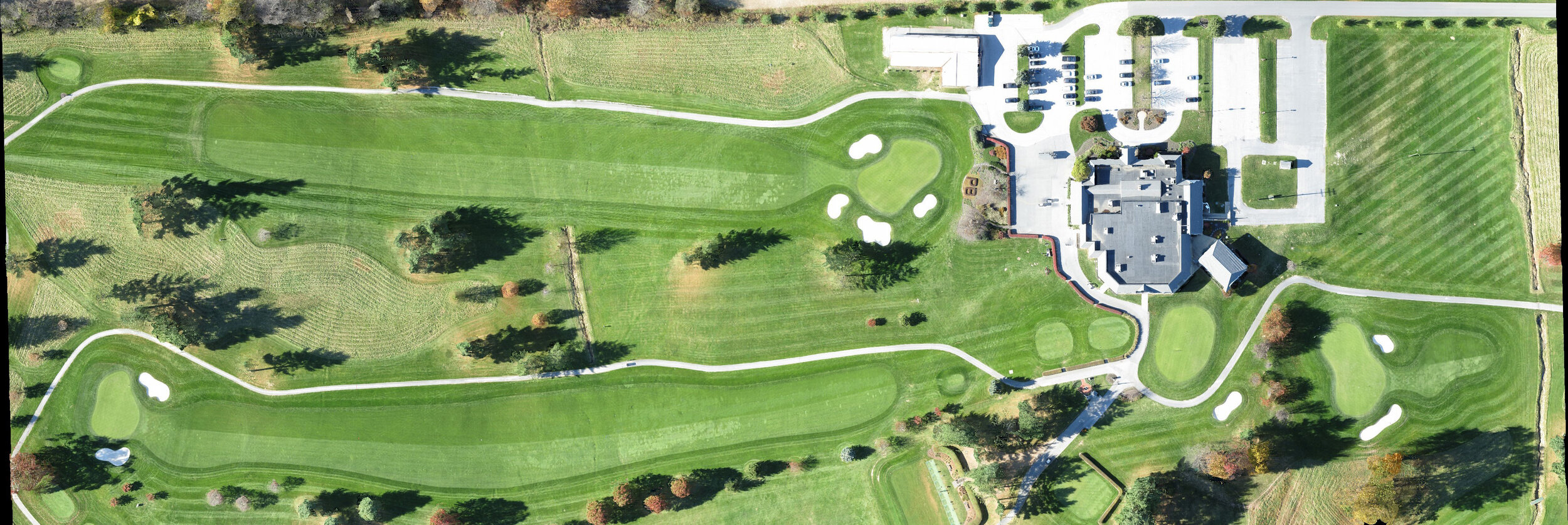
Using drone aircraft Shrink Ray produces high resolution aerial imagery. No need to book an airplane fly-over, Shrink Ray can collect these images using a small drone. But don’t let the size fool you, Shrink Ray composites thousands of individual photographs into a single large image sometimes known as an “ortho-photo” due to its lack of distortion from a lens. Shrink Ray’s process can scan anything from a house or yard up to large properties or campuses. These large images are perfect for maps.

A map of the University of Maryland Baltimore County campus made by the Shrink Ray team.
Isn’t This Like Satellite Imagery?
No, it’s better! Shrink Ray’s high resolution imagery has several advantages over free online satellite maps.
Higher Quality
Shrink Ray’s images are more detailed and contain appealing colors. In contrast, satellite images can become fuzzy when you zoom in or have washed out colors.
On-Demand
Most properties look their best in the summer with green lawns, lush trees, and colorful gardens. Shrink Ray can schedule flights for any time of year to capture the perfect view.
True Top Down View
Some satellite images are taken from an angle and can show highly slanted views of the side of a building. Shrink Ray’s “orthos-photos” are always true top down photos, like a map. All lens distortion is corrected as well.
Compare For Yourself
Courtesy of Google Maps:

Shrink Ray High Resolution:
Detail Comparison:

Courtesy of Google Maps

Shrink Ray High Resolution
Ready For Your Flight?
Ready for your high resolution imagery? Want more information?
Click “inquire” to start the process.